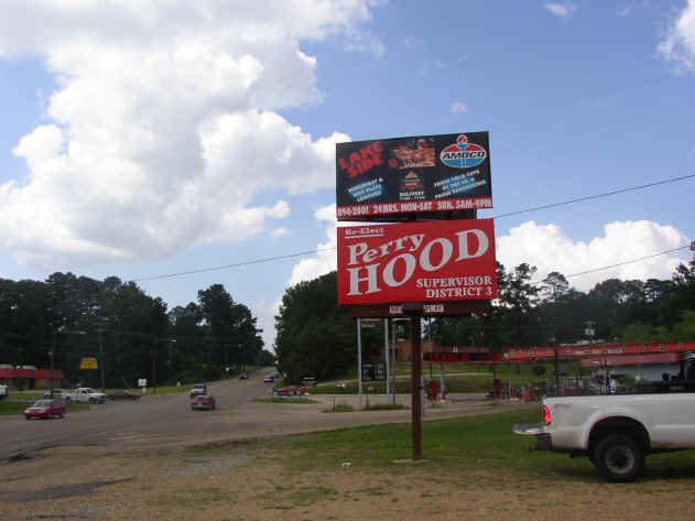
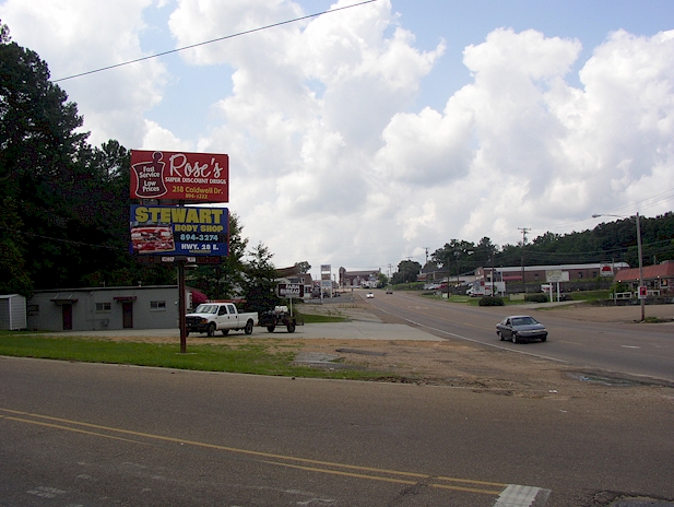
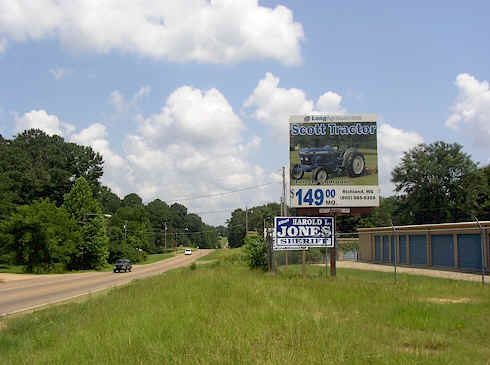
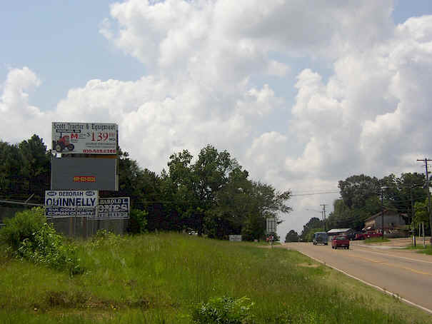
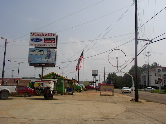
![]()
![]()
![]()
![]()
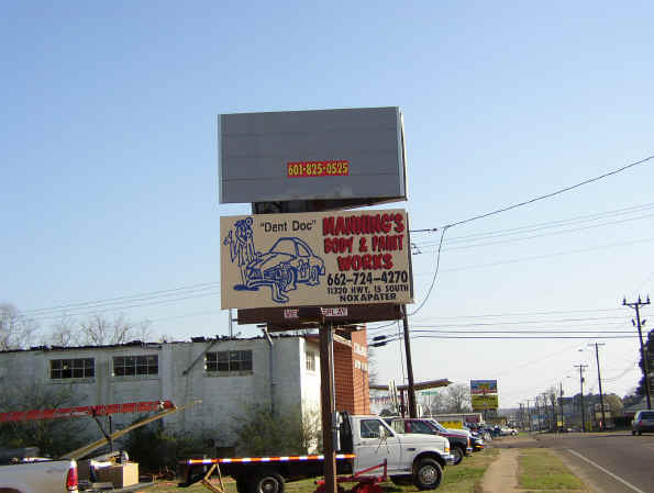
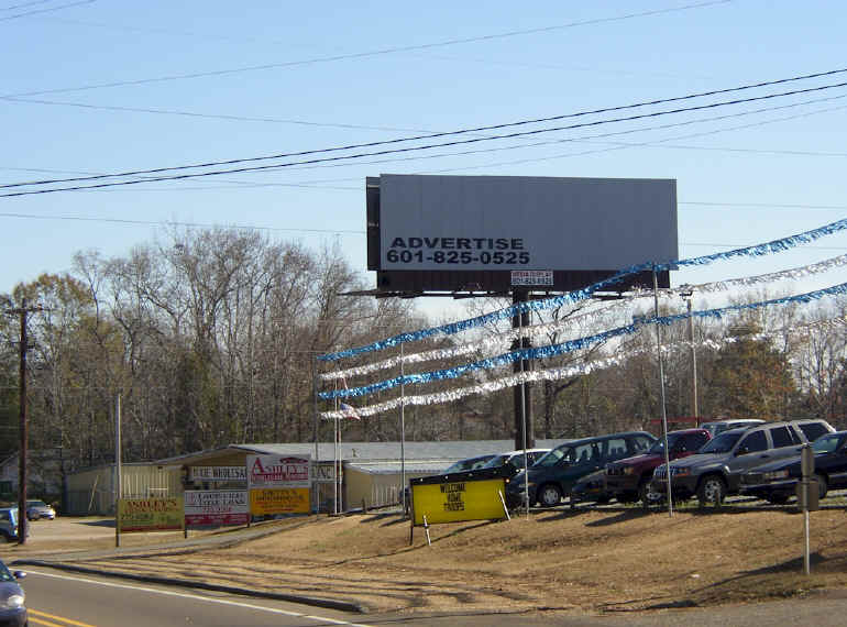
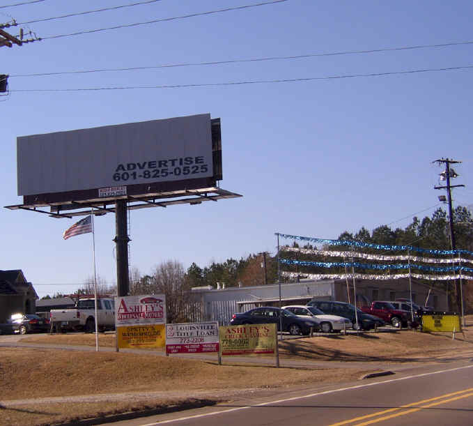
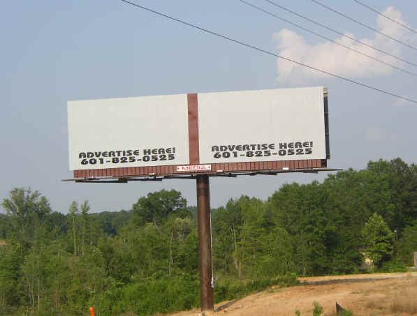
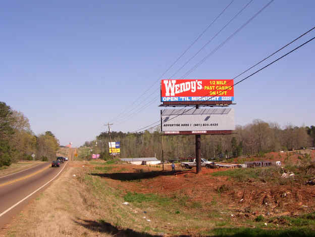
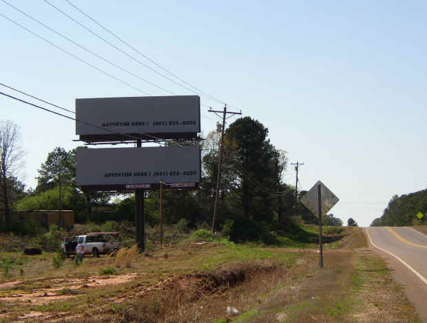
601-825-0525
601-209-1535

For a printable comprehensive list of all billboard locations click here
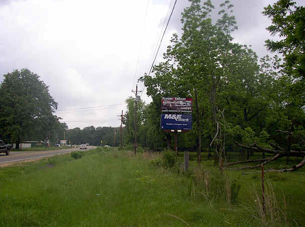
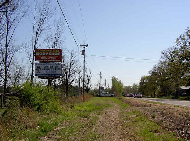
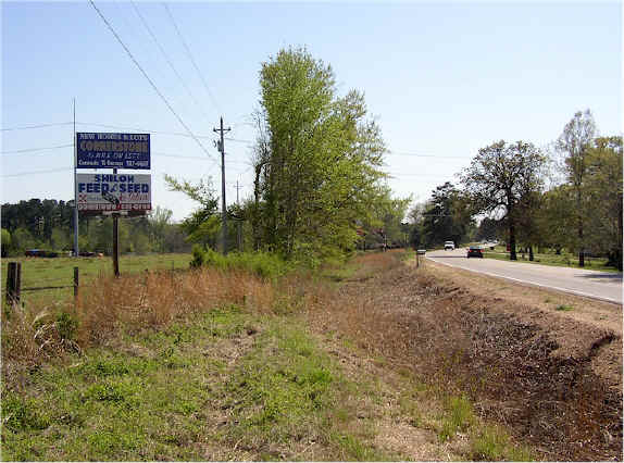
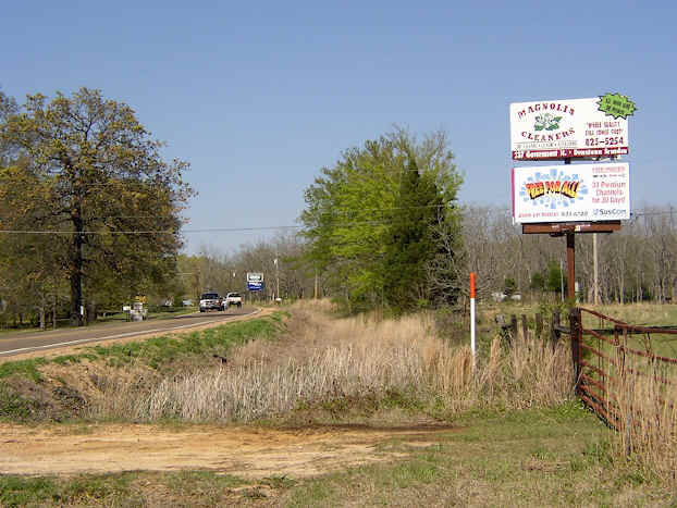
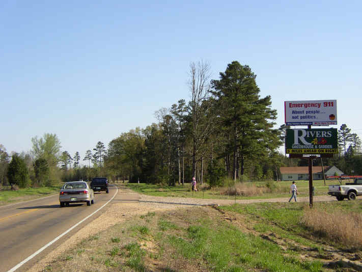
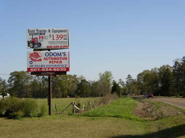
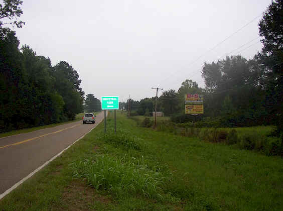
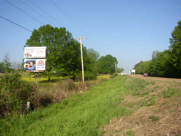
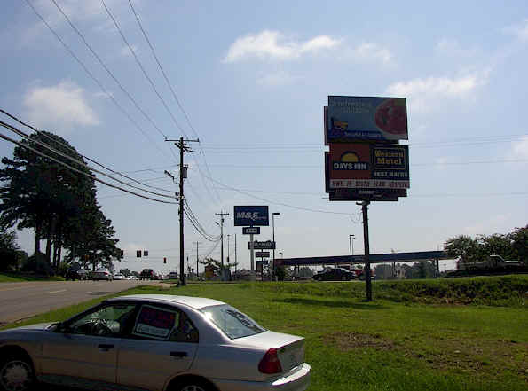
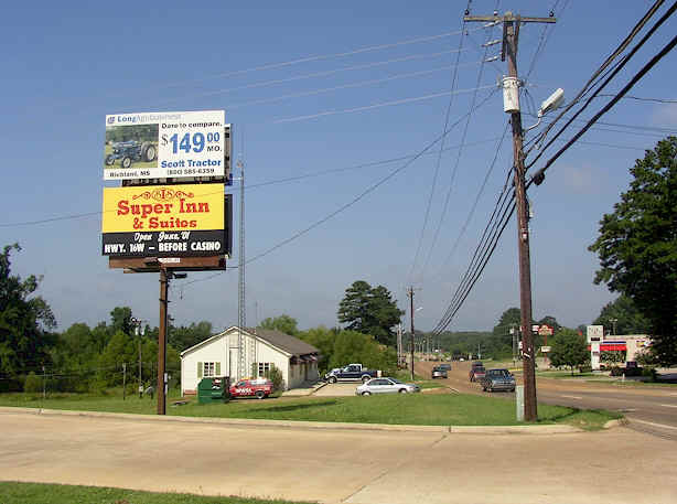
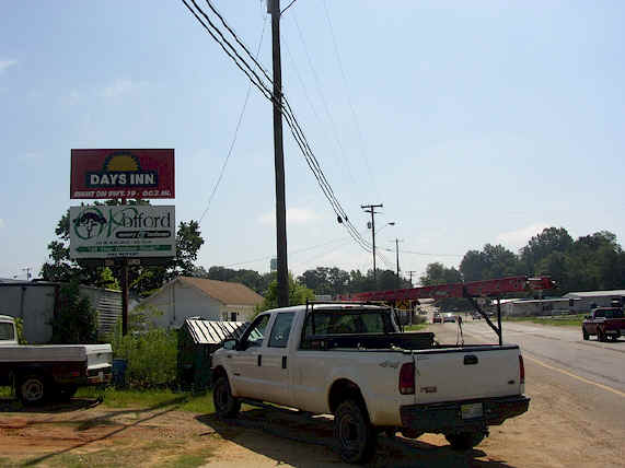
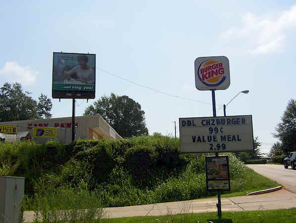
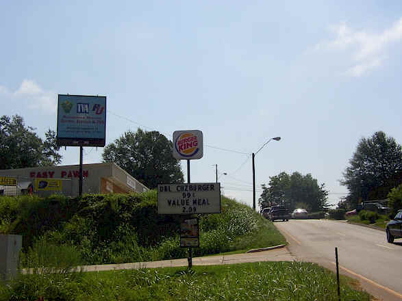
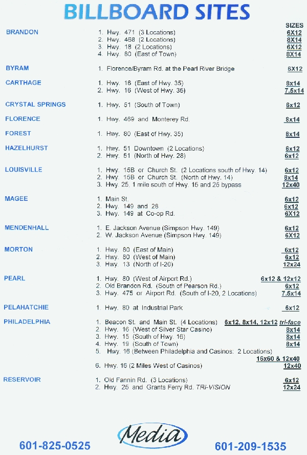
The following describes all of our locations in Mississippi:
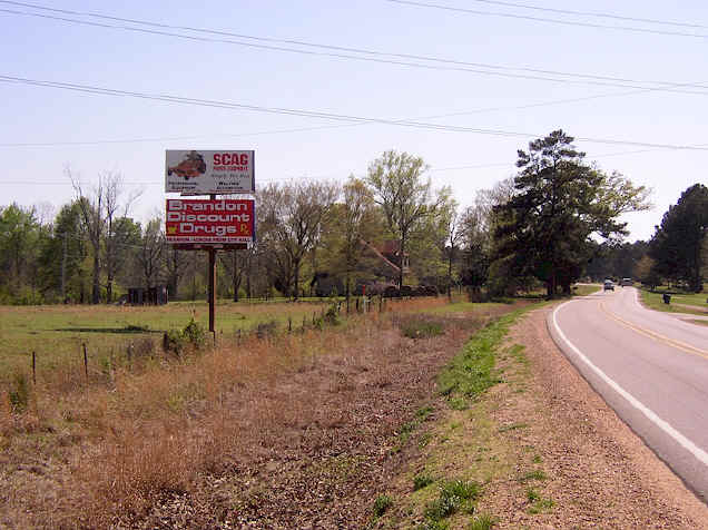
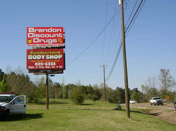
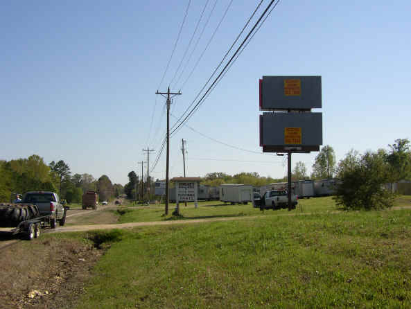
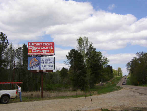
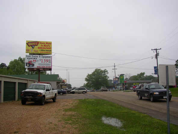
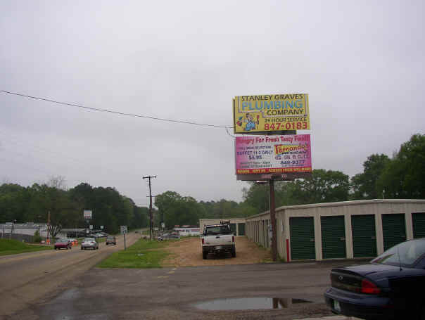
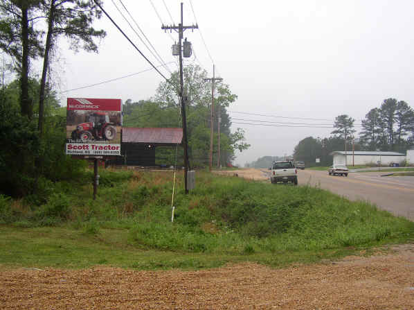
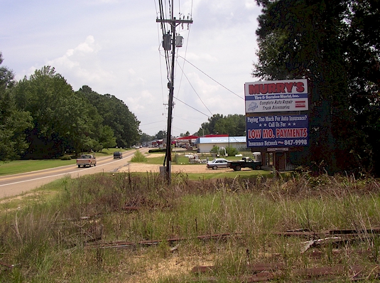
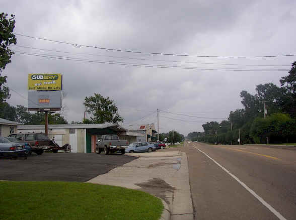
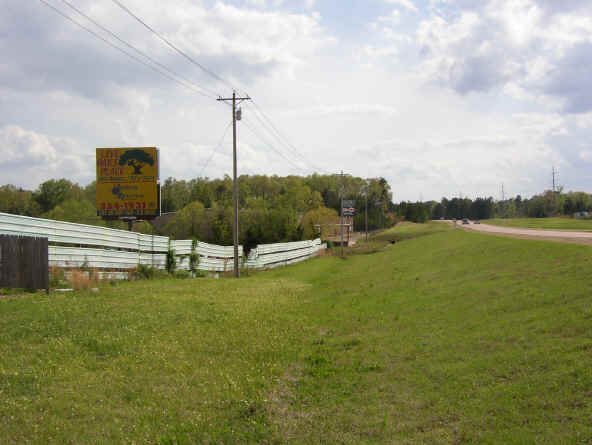
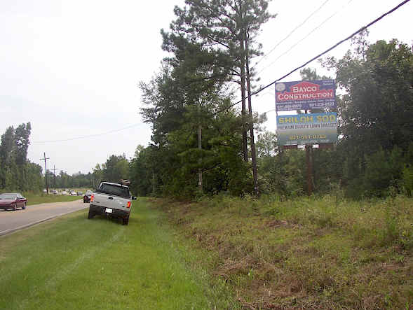
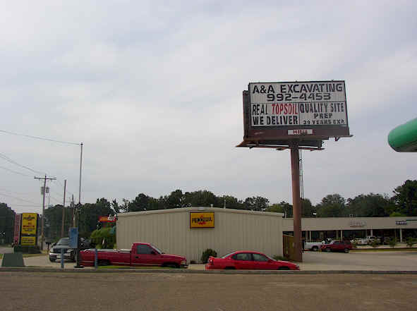
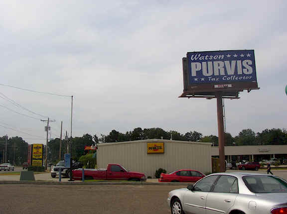
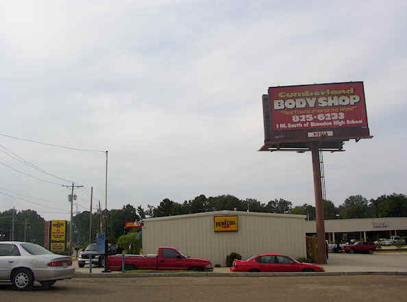
Brandon, Rankin County, Hwy 471 (3 Locations)
6' x 12' - Northbound Structure #1 - Leased
6' x 12' - Southbound Structure #1 - Available Top
6' x 12' - Southbound Structure #2 - Available Bottom
6' x 12' - Northbound Structure #3 - Available Bottom
6' x 12' - Southbound Structure #3 - Leased
Brandon, Rankin County, Hwy 468 (2 Locations)
8' x 14'4" - Eastbound Structure #1 - Leased
8' X 14'4" - Westbound Structure #1 - Leased
8' x 14'4" - Eastbound Structure #2 - Available Bottom
8' x 14'4" - Westbound Structure #2 - Top or Bottom Available
Brandon, Rankin County, Hwy. 18 (2 Locations)
6' x 12' - Eastbound Structure #1 - Leased
6' x 12' - Westbound Structure #1 - Leased
6' x 12' - Eastbound Structure #2 - Leased
6' x 12' - Westbound Structure #2 - Top Available
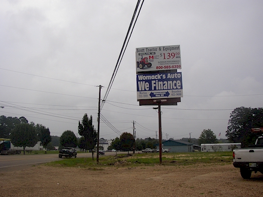
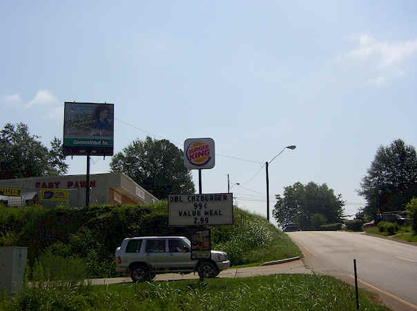
Brandon, Rankin County, Hwy. 80 (East of Town)
8' x 14'4" - Eastbound - Top or Bottom Available
8' x 14'4" - Westbound - Leased
Byram, Hinds/Rankin Co. Line, Florence/Byram Rd. at the Pearl River Bridge
6' x 12' - Eastbound - Bottom Available
6' x 12' - Westbound - Leased
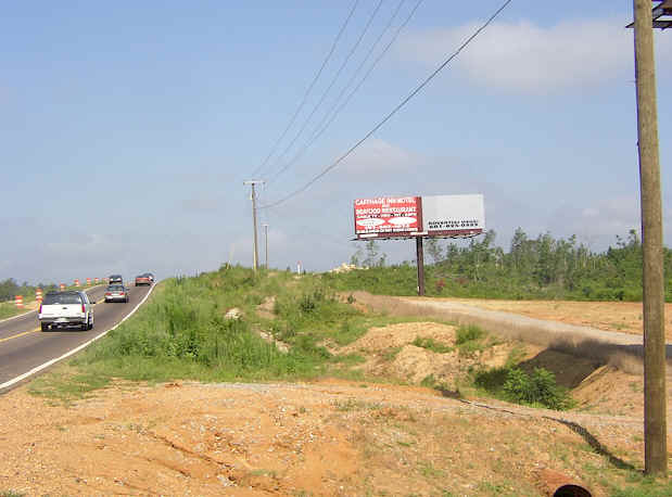
Carthage, Leake County, Hwy. 16 (East of Hwy. 35)
8' x 14'4" - Eastbound - Leased
8' x 14'4" - Westbound - Top Available
Carthage, Leake County, Hwy. 16 (West of Hwy. 35)
8' x 14'4" - Eastbound - Bottom Available
8' x 14'4" - Westbound - Bottom Available
Crystal Springs, Copiah Co., Hwy. 51 (South of Town)
6' x 12' - Northbound - Leased
6' x 12' - Southbound - Available Bottom
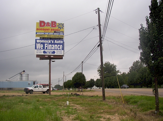
Florence, Rankin County, Hwy. 469 and Monterey Rd.
8' x 14'4" - Northbound - Bottom Available
8' x 14'4" - Southbound - Bottom Available

Forest, Scott County, Hwy. 80 (East of Hwy. 35)
8' x 14'4" - Eastbound - Leased
8' x 14'4" - Westbound - Top or Bottom Available
Hazlehurst, Copiah Co., Hwy. 51 Downtown (2 Locations)
6' x 12' - Northbound Structure #1 - Top or Bottom Available
6' x 12' - Southbound Structure #1 - Top or Bottom Available
12'10" x 12' - Northbound Structure #2 - Leased
6' x 12' - Southbound Structure #2 - Top or Bottom Available
Hazlehurst, Copiah County, Hwy. 51 (North of Hwy. 28)
moved sign to highway 18, Rankin co.
moved sign to highway 18, Rankin co.
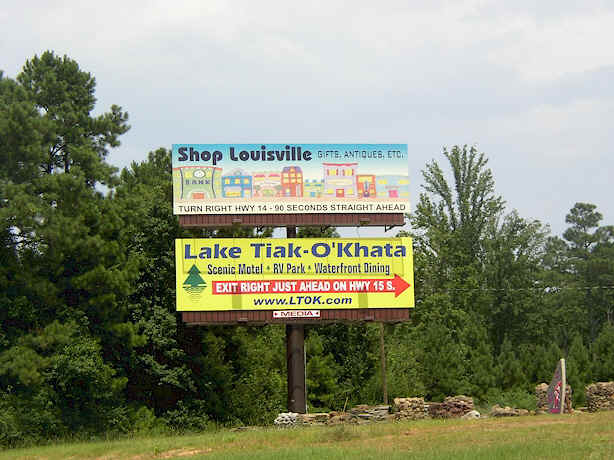
Louisville, Winston County, 2 Locations South of Hwy 14: Hwy 15B/Church Street
6' x 12' - Northbound Structure #1 - Leased
6' x 12' - Southbound Structure #1 -Bottom Available
6' x 12' - Northbound Structure #2 - Bottom Available
6' x 12' - Southbound Structure #2 - Bottom Available
Louisville, Winston County, Hwy. 15B or Church St. (North of Hwy. 14)
8' x 14' - Northbound - Leased
8' x 14' - Southbound - Bottom Available
Louisville, Winston County, Hwy. 25, 1 mile S. of Hwy. 15 and 25 bypass
12' x 40' - Northbound - Leased
Louisville, Winston County, Hwy. 14/Main Street
10' 6" x 36' - Eastbound - Leased
10' 6" x 36' - Westbound - Available
Louisville, Winston County, Hwy. 15/25 bypass (2 Locations)
10' 6" x 36' - Northbound - Leased
10' 6" x 36' - Southbound - Leased
10' 6" x 36' - Southbound Only - Leased

Magee, Simpson County, Main St.
6' x 12' - Northbound - Top Available
6' x 12' - Southbound - Leased
Magee, Simpson County, Hwy. 149 and 28
6' x 12' - Northbound - Leased
12'10" x 12' - Southbound - Leased
Magee, Simpson County, Hwy. 149 at Co-op Rd.
6' x 12' - Southbound - Leased
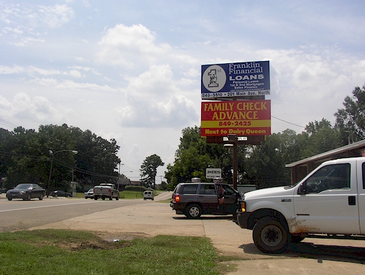
Mendenhall, Simpson County, E. Jackson Avenue (Simpson Hwy. 149)
6' x 12' - Northbound - Bottom Available
6' x 12' - Southbound - Top Available
Mendenhall, Simpson County, W. Jackson Ave. (Simpson Hwy. 149)
12'10" x 12' - Northbound - Leased
6' x 12' - Southbound - Top & Bottom Available
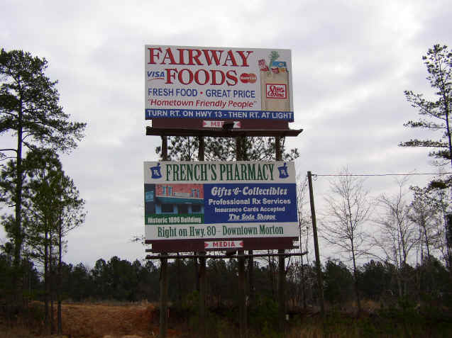
Morton, Scott County, Hwy. 80 (East of Main)
6' x 12' - Eastbound - Top & Bottom Available
6' x 12' - Westbound - Leased
Morton, Scott County, Hwy. 80 (West of Main)
6' x 12' - Eastbound - Leased
6' x 12' - Westbound - Leased
Morton, Scott County, Hwy. 13 (North of I-20)
12' x 24' - Northbound - Leased
Pearl, Rankin County, Hwy. 80 (West of Airport Rd.)
12' x 12' - Eastbound - Available
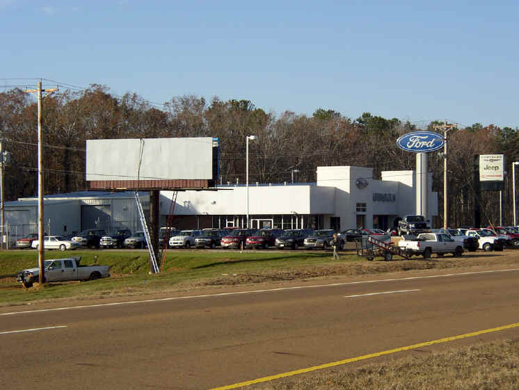
"approach view of above Eastbound sign"
6' x 12' - Westbound - Top Available
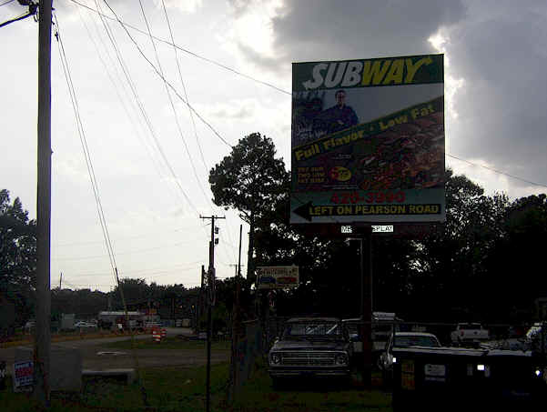
Pearl, Rankin County, Old Brandon Rd. ( Pearson Rd. & Old Brandon Rd. )
6' x 12' - Eastbound - Top Available
6' x 12' - Westbound - Leased
Pearl, Rankin County, 2 Locations S. of I-20: Hwy. 475/Airport Rd.
7'6" x 14' - Northbound Structure #1 - Leased
7'6" x 14' - Southbound Structure #1 - Bottom Available
7'6" x 14' - Northbound Structure #2 - Leased
7'6" x 14' - Southbound Structure #2 - Top or Bottom Available

Pelahatchie, Rankin County, Hwy. 80 at Industrial Park
6' x 12' - Eastbound - Leased
6' x 12' - Westbound - Leased
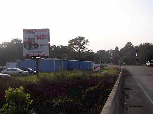
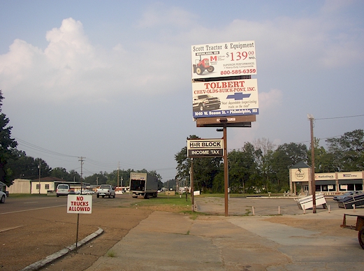
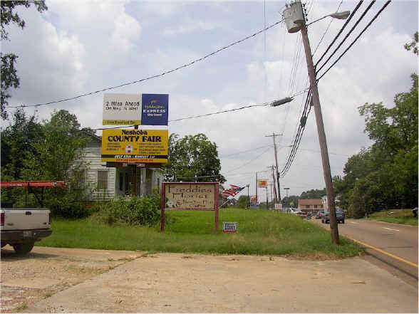
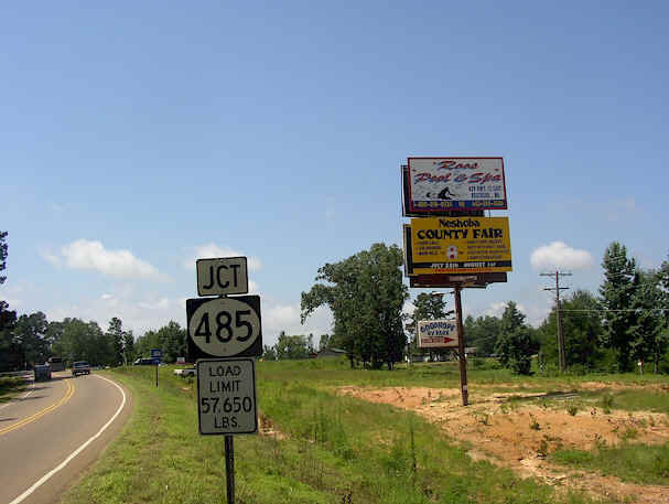
Philadelphia, Neshoba County, Beacon St. and Main St. (4 Locations)
8' x 14' - Eastbound Structure #1 - Leased
8' x 14' - Westbound Structure #1 - Leased
6' x 12' - Eastbound Structure #2 - Leased
12' x 12' - Tri-Face - Eastbound Face 1 - Leased
12' x 12' - Tri-Face - Eastbound Face 2 - Leased
12' x 12' - Tri-Face - Eastbound Face 3 - Leased
6' x 12' - Westbound Structure #4 - Leased
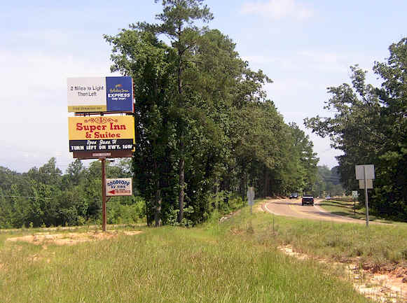
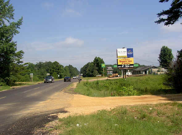
Philadelphia, Neshoba County, Hwy. 16 (West of Pearl River Resort)
8' x 14' - Eastbound - Leased
8' x 14' - Westbound - Leased
Philadelphia, Neshoba County, Hwy. 15 (South of Hwy. 16)
8' x 14' - Northbound - Leased
8' x 14' - Southbound - Top Available
Philadelphia, Neshoba County, Hwy. 19 (South of Philadelphia)
8' x 14' - Northbound - Leased
8' x 14' - Southbound - Top Available
Philadelphia, Neshoba County, 2 Locations (between Philadelphia & Pearl River Resort) on Hwy 16
16' x 60' - Eastbound - Leased
16' x 60' - Westbound - Leased
12' x 40' - Eastbound - Leased
12' x 40' - Westbound - Leased
Philadelphia, Neshoba County, Hwy. 16 (2 Miles West of Pearl River Resort)
12' x 40' - Eastbound - Leased
12' x 40' - Westbound - Leased
Reservoir Area, Rankin County, Old Fannin Rd. (3 Locations)
6' x 12' - Northbound Structure #1 - Leased
12'x12' (tri-vision) - Southbound Structure #1 - 3 Faces Available
6' x 12' - Southbound Structure #2 - Southbound Bottom Available
Old Fannin @ Duncan Marine Tri- faces 12' x 12' - Northbound Structure #3 - 1 Available
Old Fannin @ Duncan Marine 6' x 12' - Southbound Structure #3 - Leased
Reservoir Area, Rankin County, Hwy. 25 and Grants Ferry Rd. (TRI-VISION)
12' x 24' - Tri-Face - Northbound Face 1 - Leased
12' x 24' - Tri-Face - Northbound Face 2 - Available
12' x 24' - Tri-Face - Northbound Face 3 - Available
12' x 24' - Static Southbound Face 1 - Leased

© Copyright 2001-2007. All Rights Reserved.
web design by: